
Pawnee County 155
1234 CO Rd, Larned, KS | Lat/Lng: 38.2357, -99.1645
$248,000
155.68 ac.
06/09/2025
ACTIVE

Description
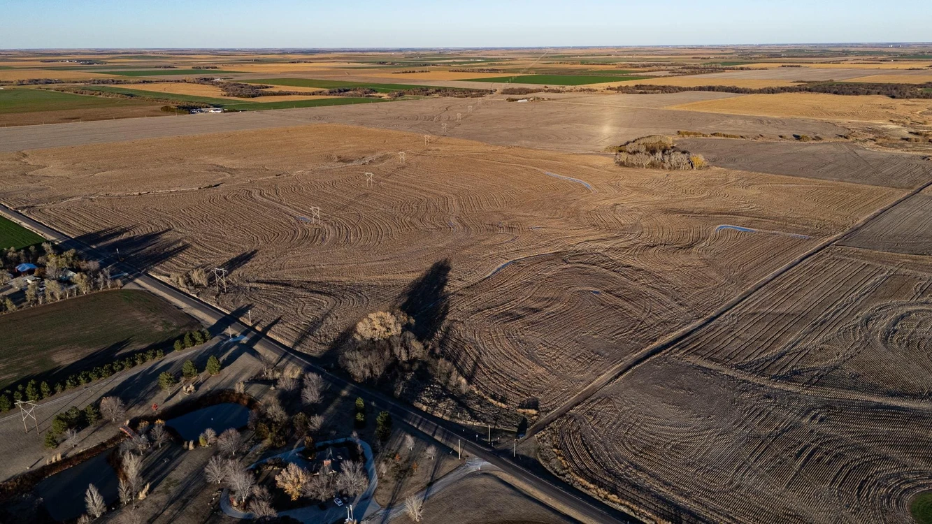
This 155.68-acre tract in Pawnee County, Kansas, is a productive and versatile piece of farmland with excellent access and more than half Class 2 soils and an average NCCPI of 66.36 . Featuring terraced cropland, natural waterways, and areas of timber and grass, it's a great investment for farming or outdoor recreation.
Land
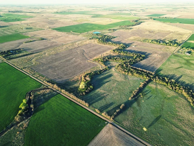
This exceptional cropland property in Pawnee County, Kansas, offers 155.68 acres of prime agricultural land, ideal for expanding your farm or cropland portfolio. The land features well-maintained terraces and a waterway system, ensuring effective use of precipitation for crops while managing excess runoff. With 150.98 acres of productive cropland and additional areas of waterways and grass, the property provides a balanced environment for farming and wildlife habitat. Two small pockets of timber attract deer, while the grass and waterways offer excellent cover for pheasants and quail, creating potential hunting opportunities for outdoor enthusiasts.
Conveniently located near highways and blacktop roads, the property offers easy access to grain markets, enhancing its practicality and value. Boasting quality soils and priced to sell, this beautiful cropland is ready for its next owner. Additionally, 54.18% of mineral rights will transfer to the buyer at closing, and there are currently no crops planted, presenting immediate opportunities for use.
Please contact the listing agent for more information on this property or to schedule a private showing. (**Financial verification is required**)
Legal Description: SW4 of S11, T21, R17, Acres 155.68 in Pawnee County
__________________________________________________
Crop APH
Wheat 63
Corn 94
Grain Sorghum 89
__________________________________________________
Soils: Primarily Class 2 and 3
Harney silt loam, 0 to 1 percent slopes: 74.78 Acres
Harney-Uly complex, 3 to 6 percent slopes, eroded: 69.28 Acres
Harney silt loam, 1 to 3 percent slopes: 11.53 Acres
Statistics:
2023 Approximate Real Estate Taxes: $764.28
State Deer Hunting Unit: 5
Average Yearly Rainfall: 24
Closest Town: Larned
School District: Fort Larned USD 495
Directions:
From Larned, head west on KS-156 Hwy for 3 miles and turn right onto 150th Ave. In 3 miles, the property will be on your right.
Location/Population:
6.5 miles northwest of Larned, KS (Population: 3,675)
Fort Larned National Historic Site
Larned State Theater
30 miles southwest of Great Bend, KS (Population: 14,372)
Cheyenne Bottoms Wildlife Refuge, one of the most crucial migration points for waterfowl in Central America.
Brit Spa Zoo and Wetlands Waterpark
70 miles northeast of Dodge City, KS (27,514)
Boot Hill Casino and Resort
Boot Hill Museum
Details
County: Pawnee
Zipcode: 67550
Property Type One: Farms
Property Type Two: Ranches
Property Type Three: Hunting Land
Brokerage: Hayden Outdoors
Brokerage Link: https://www.haydenoutdoors.com/agents/j-c-bosch/
Apn: 0911100000004000

JC Bosch
Hayden Outdoors
(620) 282-9572
By clicking the button, you agree to our Terms of Use and Privacy Policy.


Nearby Listings
Hodgeman County, KS

$20,634,750 - 9171 ac.
Edwards County, KS

$395,000 - 240 ac.
Pawnee County, KS
$616,000 - 154 ac.
Barton County, KS

$1,200,000 - 10 ac.
Pawnee County, KS

$290,000 - 74 ac.
Edwards County, KS

$325,000 - 47 ac.
Barton County, KS
$364,000 - 160 ac.
Rush County, KS

$270,000 - 96 ac.
Barton County, KS

Auction - 1 ac.
Stafford County, KS
Auction - 151 ac.