

Rancho San Juan Ranch
975 San Juan Grade, Salinas, CA | Lat/Lng: 36.7789, -121.6118
$18,000,000
1492.32 ac.
07/23/2026
ACTIVE
Description
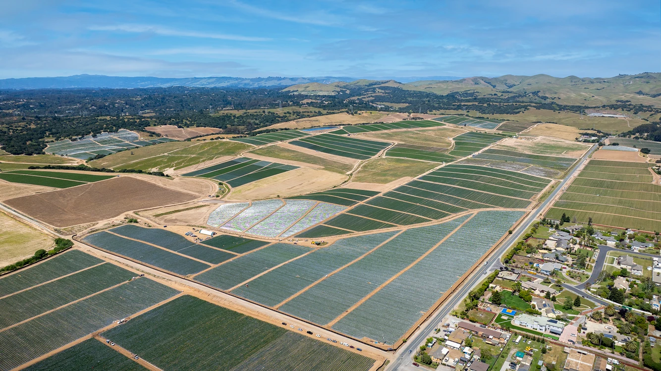
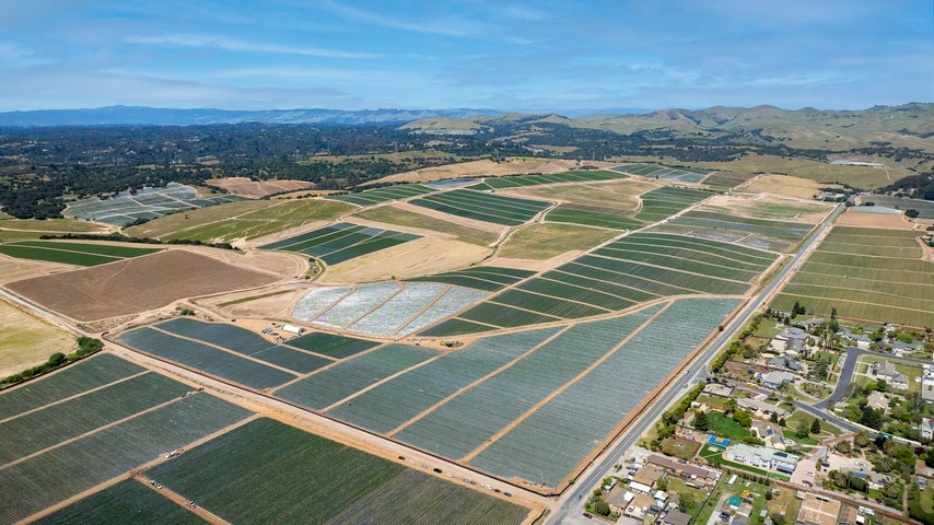
1,492.32 +/- Assessed Acres | 571.46 +/- of Gross Irrigated Farmland | 351.91 +/- leased acres | 207.90 +/- fallow acres | 4 Deep Wells | 1 Reservoir | Site for 5th Large Well | Portion of property located within the Butterfly Village Planned Development | Located at the Northeast side of Salinas, Monterey County, California. There is approximately 920.86 +/- acres of rangeland and supporting land that is located around farming blocks and largely in the western and northernmost areas of the property. The property is comprised primarily of NRCS Santa Ynez Find Sandy Loan, Gloria Sandy Loam, Chualar Loam, and Arnold Loamy Sand soil series. Topography is generally rolling-to-sloping from 2 to 15% primarily south facing in direction. Irrigation water is currently supplied to the Property via four operating agricultural wells and one large reservoir. Water is distributed to the farming blocks via high-pressure PVC mainlines and booster pumping stations. Site for 5th large well at Southwest corner of pasture. According to the CA Department of Water Resources' website, the Property is located in the Sustainable Groundwater Management Act (SGMA) Bulletin 118 Basin "2-004", Salinas Valley Basin. Property is located in two Subbasins, (1) Salinas Valley - East Side Aquifer Subbasin (3.004.02)m abd /(2) Langley Area Subbasin (3.004.09). Both are classified as High Priority, but not identified as Critically Overdrafted. Property has been historically farmed to strawberries and fresh vegetable crops.
Details
County: Monterey
Zipcode: 93907
Property Type One: Farms
Property Type Two: Ranches
Brokerage: The Mendrin Group
Brokerage Link: www.mendrins.com/

Al Mendrin
The Mendrin Group
(559) 288-0671
By clicking the button, you agree to our Terms of Use and Privacy Policy.


Nearby Listings
San Benito County, CA
$2,299,000 - 69 ac.
Santa Clara County, CA

$1,260,000 - 630 ac.
Monterey County, CA

$18,900,000 - 2101 ac.
San Benito County, CA

$1,875,000 - 250 ac.
Monterey County, CA

$6,490,000 - 112 ac.
San Benito County, CA

$3,300,000 - 139 ac.
San Benito County, CA

$6,500,000 - 186 ac.
Monterey County, CA

$1,250,000 - 22 ac.
San Benito County, CA
$1,100,000 - 85 ac.
Monterey County, CA

$30,950,000 - 483 ac.